
Recreational use of drones has been around for several years now, and Amazon has even toyed with its delivery applications. However, in recent months, the application of unmanned aircraft systems (UAS) has timely expanded to more practical and even life-saving uses. By August 31, 2017 — just a few days after Hurricane Harvey — the Federal Aviation Administration (FAA) had issued 43 UAS authorizations to drone operators supporting the response and recovery for Hurricane Harvey or covering it as part of the media, with the total number of authorizations growing to 137. The initial UAS authorizations went to local, state, and federal officials focusing on damage assessments of critical infrastructure, homes and businesses to help target, prioritize and expedite recovery activities. Eight of the approvals went to a railroad company for damage assessment to the rail line running through Houston. Five others were similarly issued to oil or energy companies with facilities, fuel tanks, power lines, and equipment that catered to the city.
By mid-September 2017 — in response to Hurricane Irma — the FAA issued a total of 132 airspace authorizations, to a variety of agencies for varying purposes. These authorizations include: aerial surveys by the Air National Guard to assess disaster-stricken areas quickly and decide which are the most in need of assistance; radar mapping by the U.S. Customs and Border Protection on infrastructure, such as power plants for The Federal Emergency Management Agency; damage assessments and power restoration by several of Florida’s electric utilities. In the case of the utilities, their drones were in the air within hours after the storm subsided. Of note, among the 132 airspace authorizations in connection with Hurricane Irma recovery and relief, Airbus Aerial, the commercial drone services division of Airbus, obtained airspace authorization for their drones. In this case, Airbus Aerial’s drones were used to combine data from drones, manned aircraft and satellite data for imaging of specific locations before and after Irma in an effort to speed up handling of insurance claims from the affected homeowners.
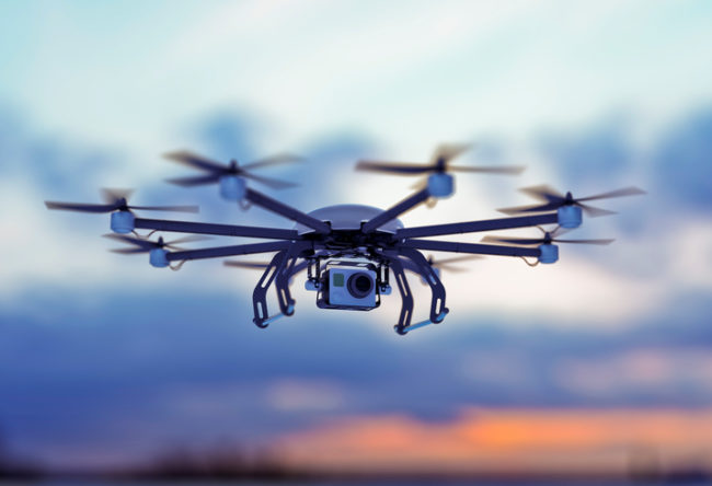
One major (and obvious) aspect of drone use sets it apart from other forms of traditional equipment — drones are incredibly useful in gaining access to areas affected by a natural disaster long before local airports are reopened and running on full capacity, or in areas no longer accessible by vehicles. And in some cases, where unknown health hazards are lurking in flood waters, agency personnel are best advised not to physically approach at all.
The application of drones in disaster relief and recovery has been recognized by the federal government. On October 25, 2017, President Trump directed U.S. Secretary of Transportation Elaine L. Chao to launch an initiative to safely test and validate advanced operations for drones in partnership with state and local governments in select jurisdictions. The Unmanned Aircraft Systems Integration Pilot Program will be used to accelerate the safe integration of UAS into the national airspace and to realize the benefits of unmanned technology in the economy. Secretary Chao noted: “Drones are proving to be especially valuable in emergency situations, including assessing damage from natural disasters such as the recent hurricanes and the wildfires in California.” As part of this program, stakeholders in local government and the private sector will have a chance to partner with the U.S. Department of Transportation (USDOT) on this new frontier. Industries that could see immediate opportunities from the program include commerce, photography, emergency management, precision agriculture, and infrastructure inspections and monitoring.
One particular sector that will greatly benefit from wider drone usage and regulatory change are insurance carriers in claims processing and in the assessment of damages following an environmental event. Major carriers are already deploying drones on a regular basis. However, current FAA regulations prevent drones from reaching maximum utility. Drones are not allowed to operate near airports and military bases, drone operators must get customers’ permission to fly drones on their properties and keep drones within eye sight thereby making large scale assessments often unsuitable. Notably, participating in the USDOT’s pilot program would give carriers the opportunity to further expand their drone programs.