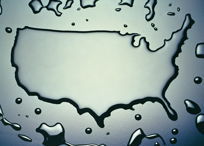
In conjunction with the Social Science Environmental Health Research Institute of Northeastern University, the non-profit watchdog organization Environmental Working Group (EWG) published last week an updated version of their interactive map documenting alleged sites of PFAS contamination in the United States. It purports to chart 610 locations in 43 states that have reported known contamination with PFAS chemicals, potentially affecting the drinking water of approximately 19 million people. A prior version of the map issued in July 2018 documented only 172 contaminated sites in 40 …
Continue Reading